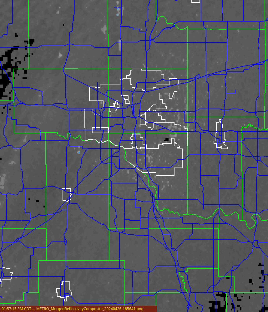
| 2D Composite Reflectivity | 3D Composite Reflectivity |
 |
 |
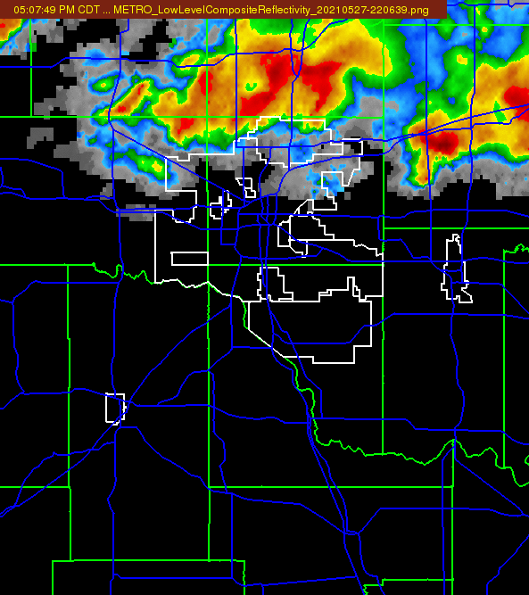
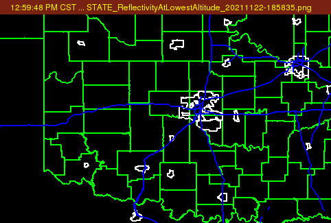
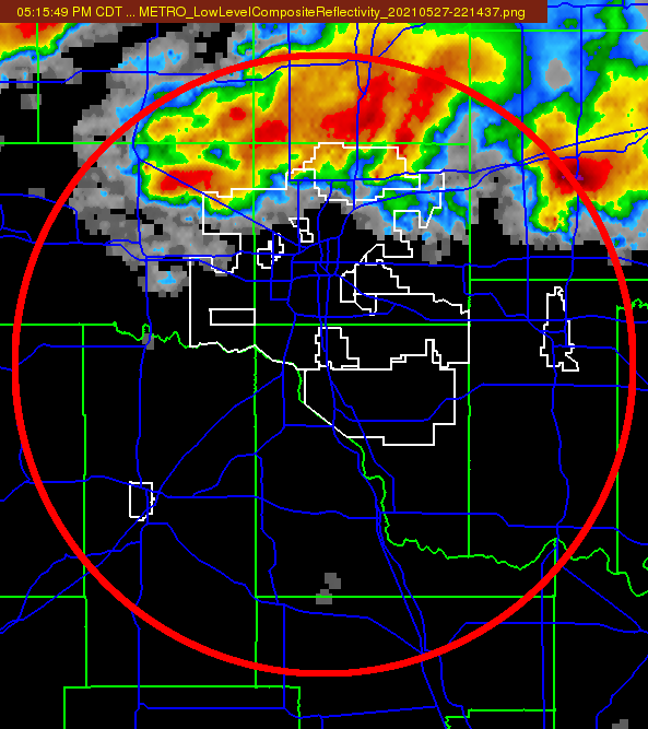
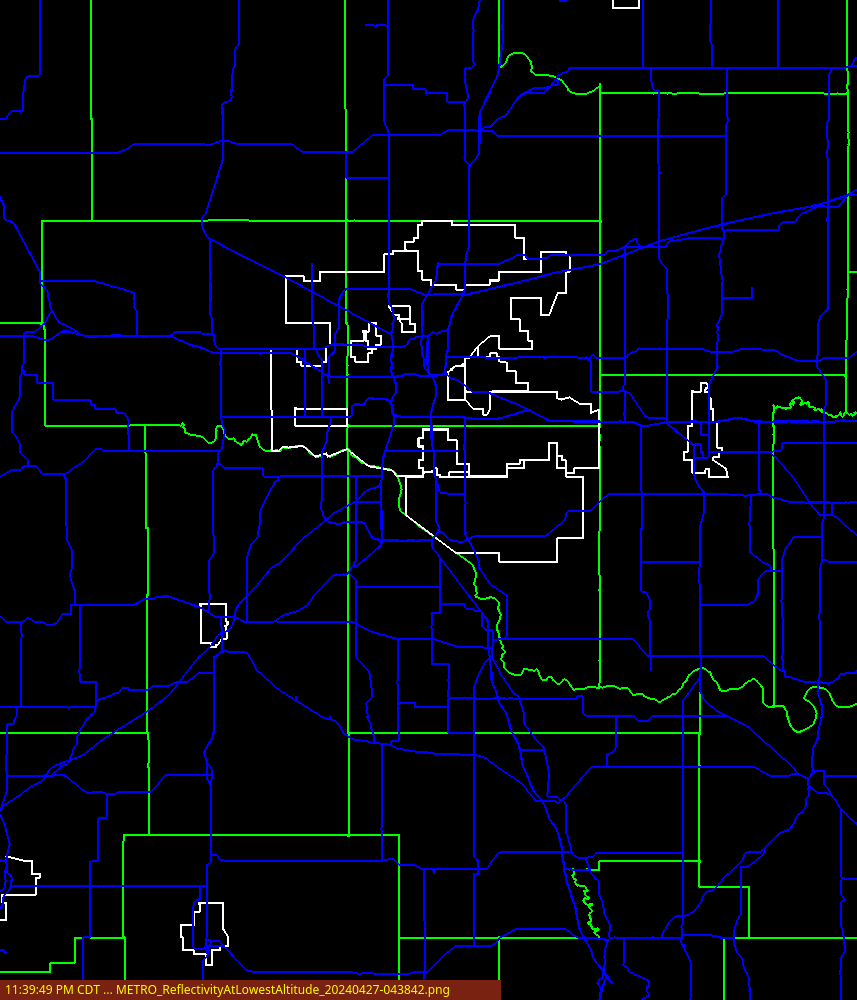
| 3D Low Level Composite Reflectivity | 3D Reflectivity at Lowest Altitude |
 |
 |
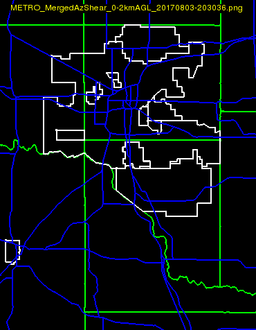
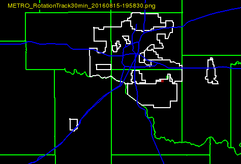
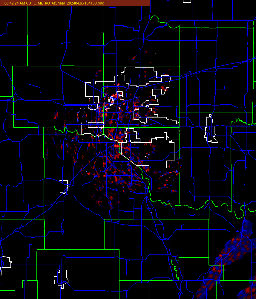
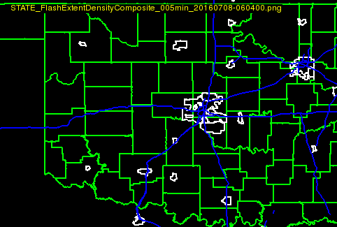
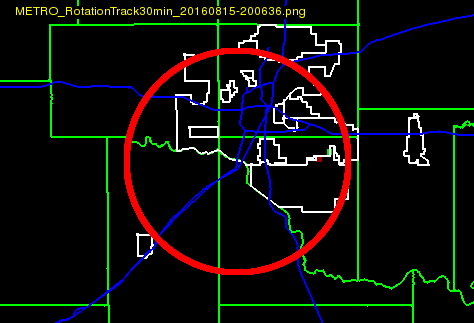
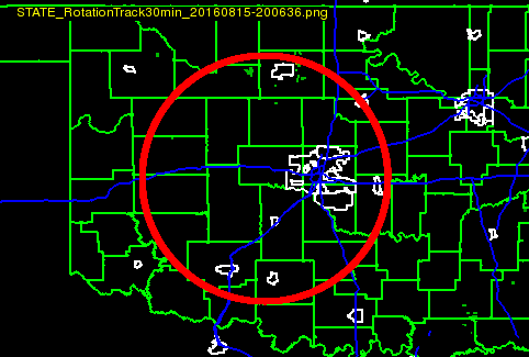
| Merged Az Shear | Rotation Track 30min |
 |
 |
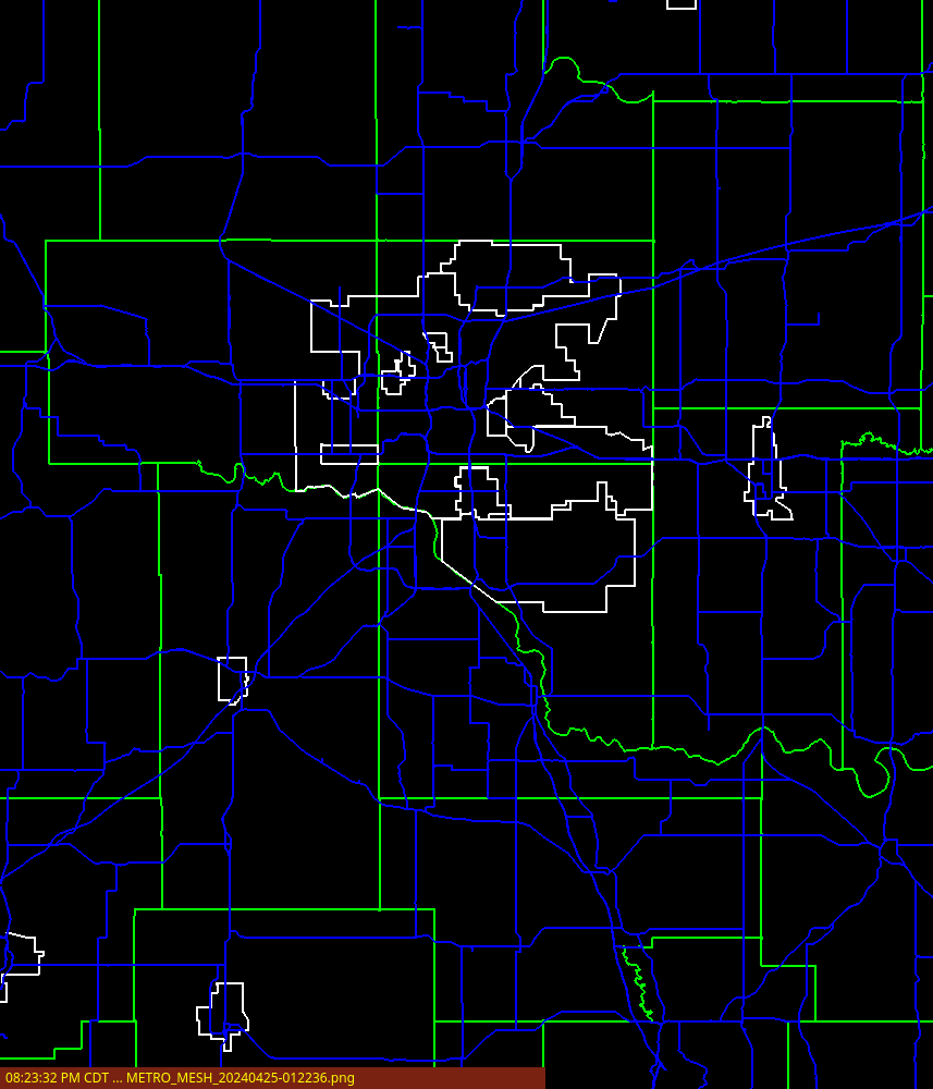
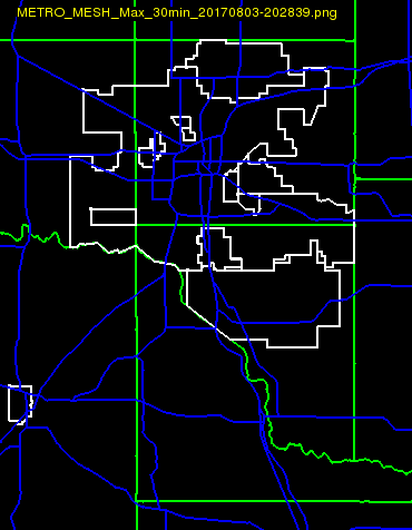
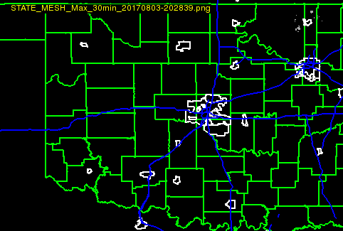
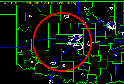
| MESH | MESH MAX 30min |
 |
 |
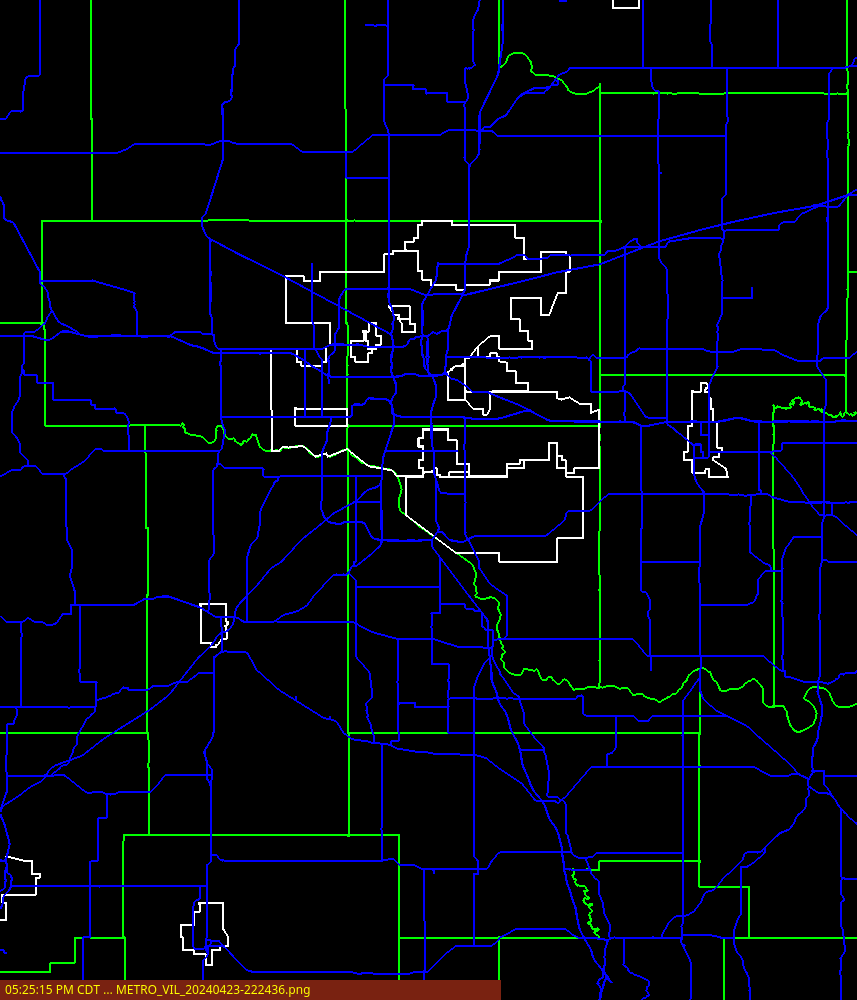
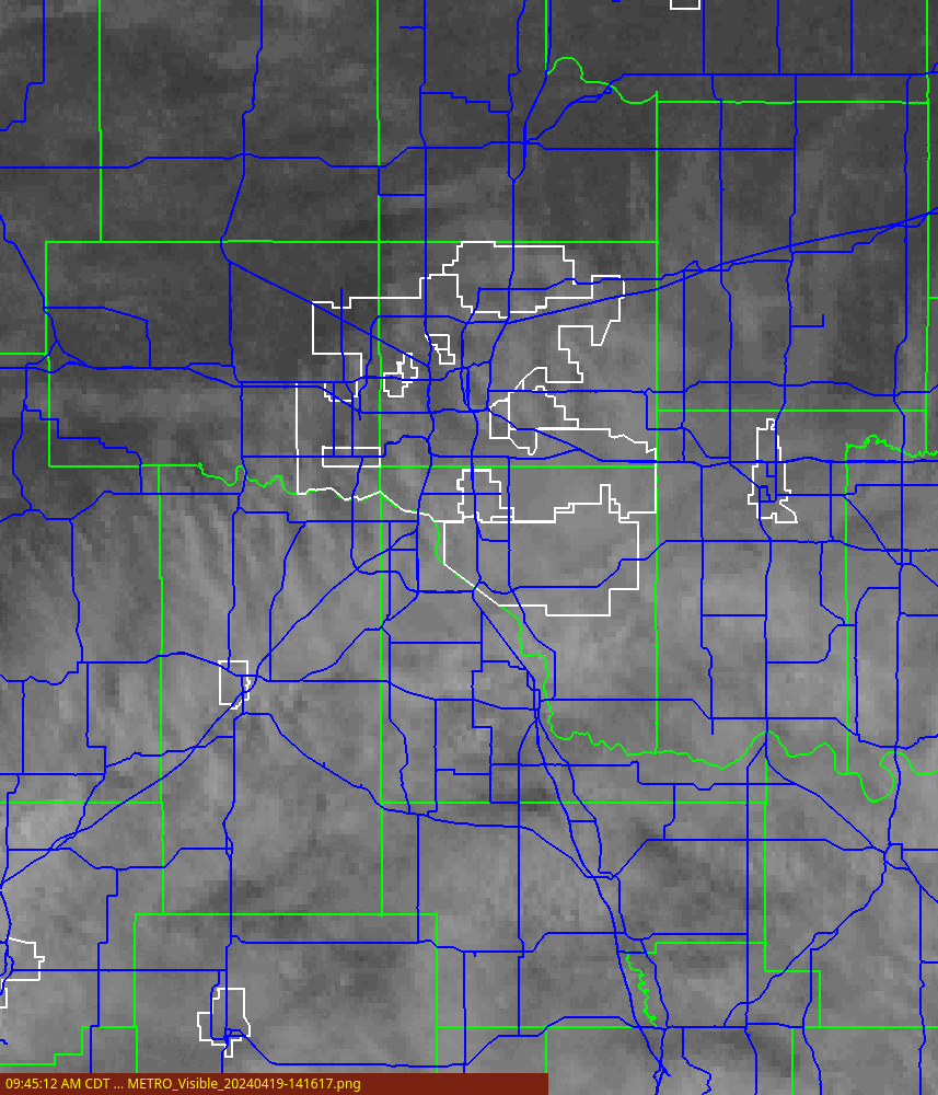
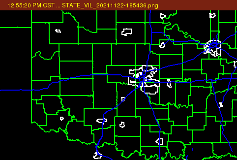
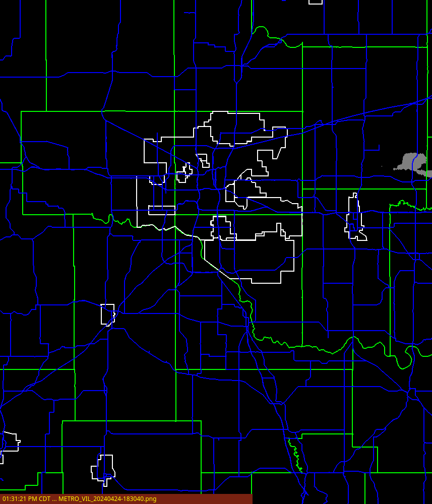
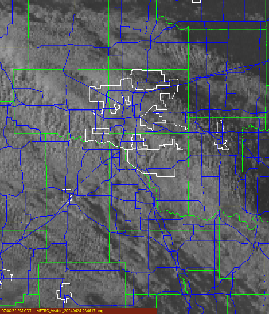
| VIL | GOES Visible |
 |
 |
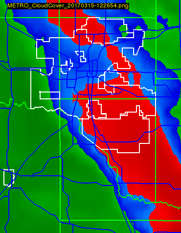
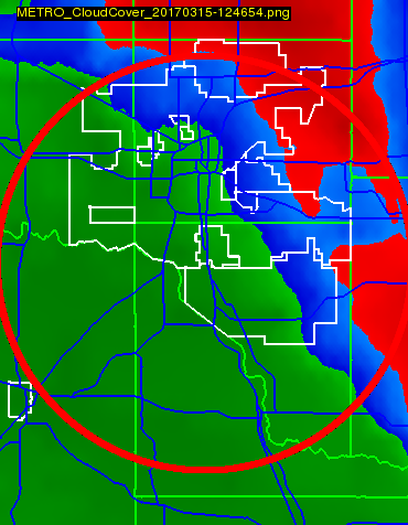
| GOES IR | Multi-Sensor Cloud Cover |
 |
 |
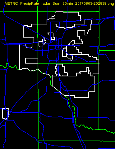
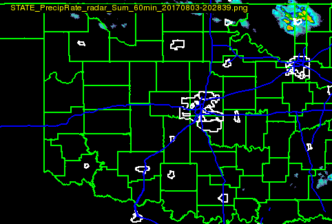
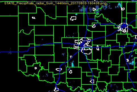
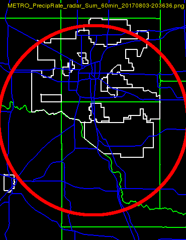
| Precip Accum (1 hour) | Precip Accum (24 hours) |
 |
 |
| OK LMA VILMA | 3D Composite Reflectivity |
 |
 |
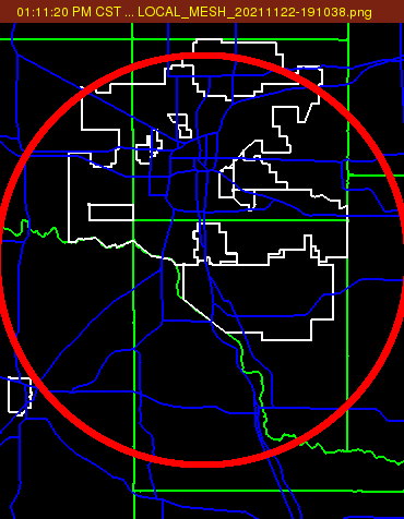
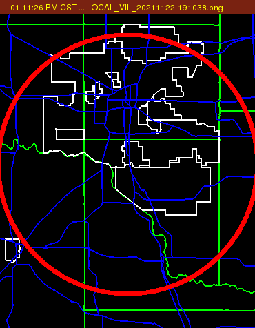
| Local MESH | Local VIL |
 |
 |
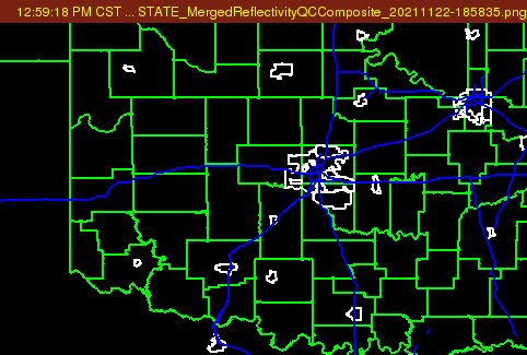
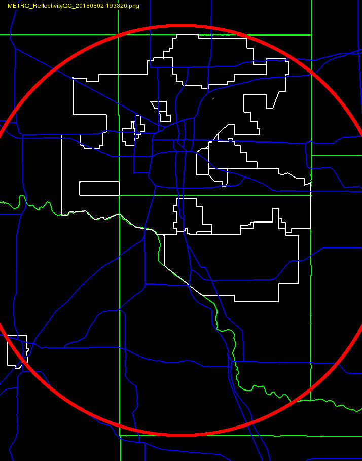
| KTLX Reflectivity (0.5 deg) | KTLX Reflectivity QC (0.5 deg) |
 |
 |
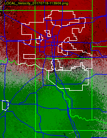
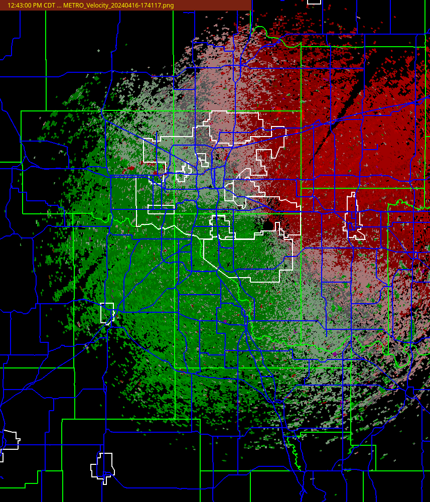
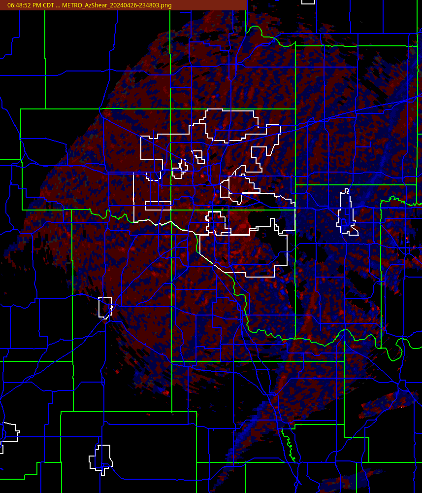
| KTLX Velocity (0.5 deg) | KTLX Az Shear (0.5 deg) |
 |
 |
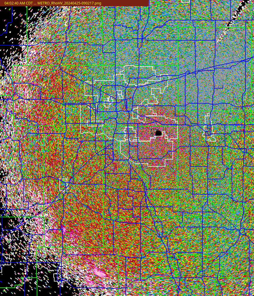
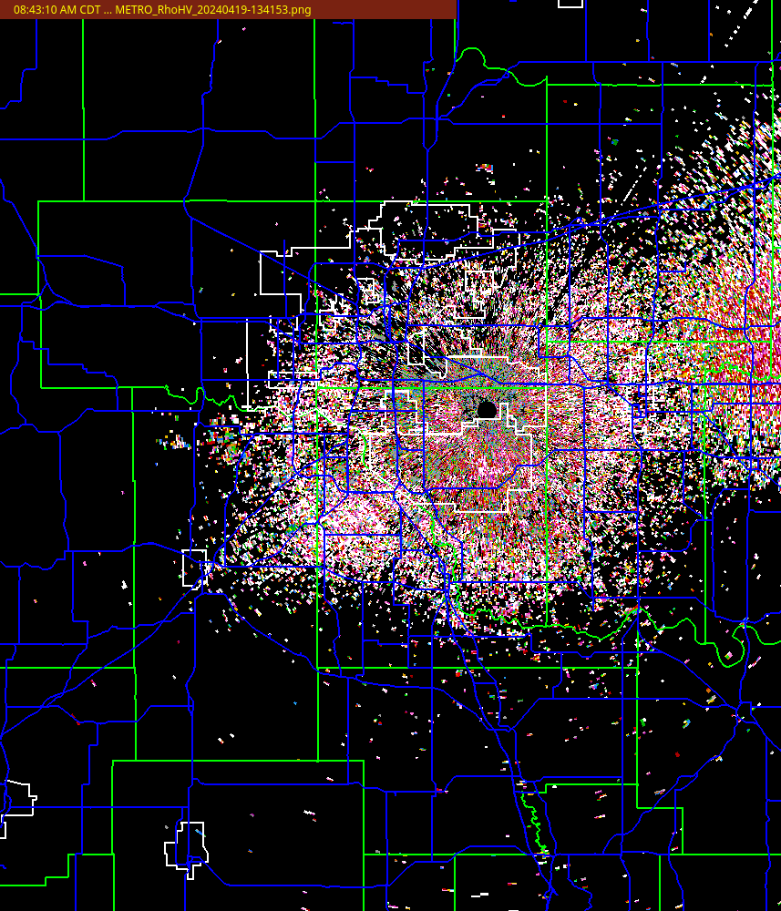
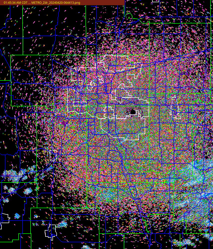
| KTLX RhoHV (0.5 deg) | KTLX Zdr (0.5 deg) |
 |
 |
| TDWR Reflectivity (0.5 deg) | TDWR Velocity (0.5 deg) |
 |
 |
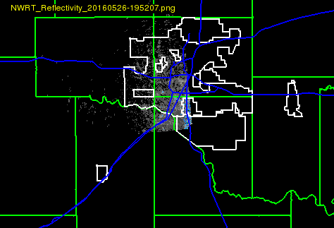
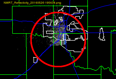
| NWRT Reflectivity (0.5 deg) | NWRT Velocity (0.5 deg) |
 |
 |
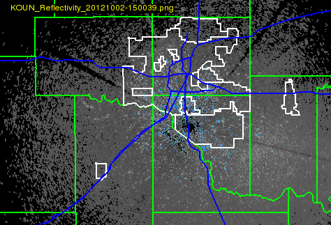
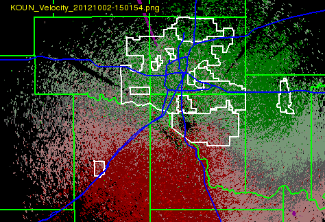
| KOUN Reflectivity (0.5 deg) | KOUN Velocity (0.5 deg) |
 |
 |
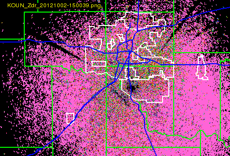
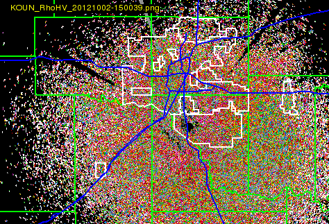
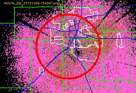
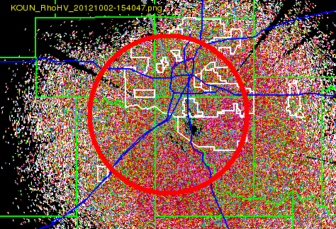
| KOUN Zdr (0.5 deg) | KOUN RhoHV (0.5 deg) |
 |
 |
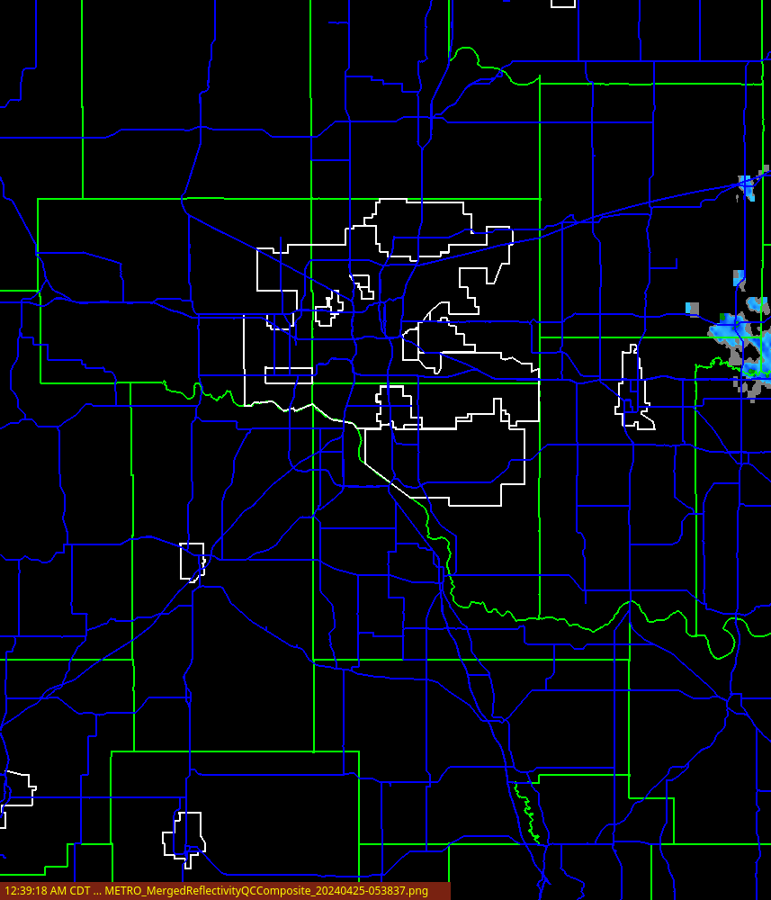
| 3D Reflectivity at Lowest Altitude | 2D Composite Reflectivity (no QC) |
 |
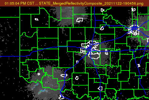 |
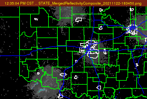
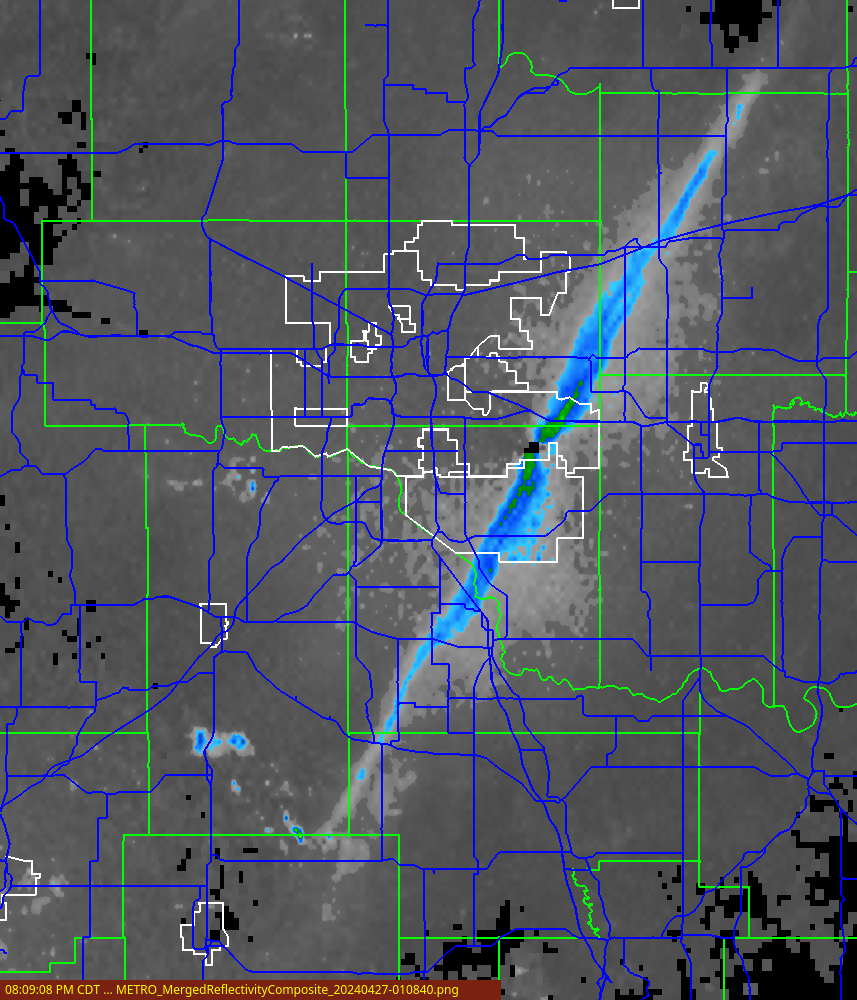
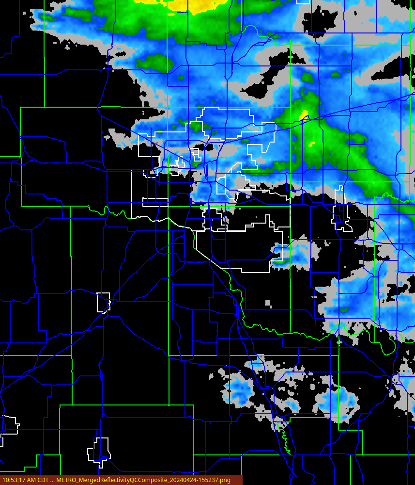
| 3D Merged Reflectivity Composite | VIL |
 |
 |
| Visible | OKLMA VILMA |
 |
 |
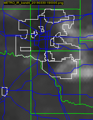
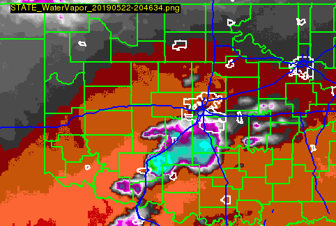
| IR Band4 | WaterVapor |
 |
 |
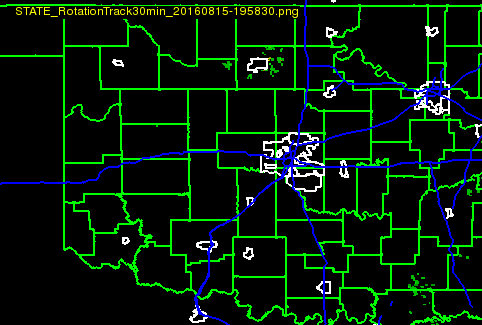
| MESH_MAX 30min | Rotation Track 30min |
 |
 |
| 1-hr Precip | 24-hr Precip |
 |
 |