|
| GOES Sat&Rad (Click image for animated loop) | GOES Sat&Rad (Daytime only) (Click image for animated loop) |
 |
 |
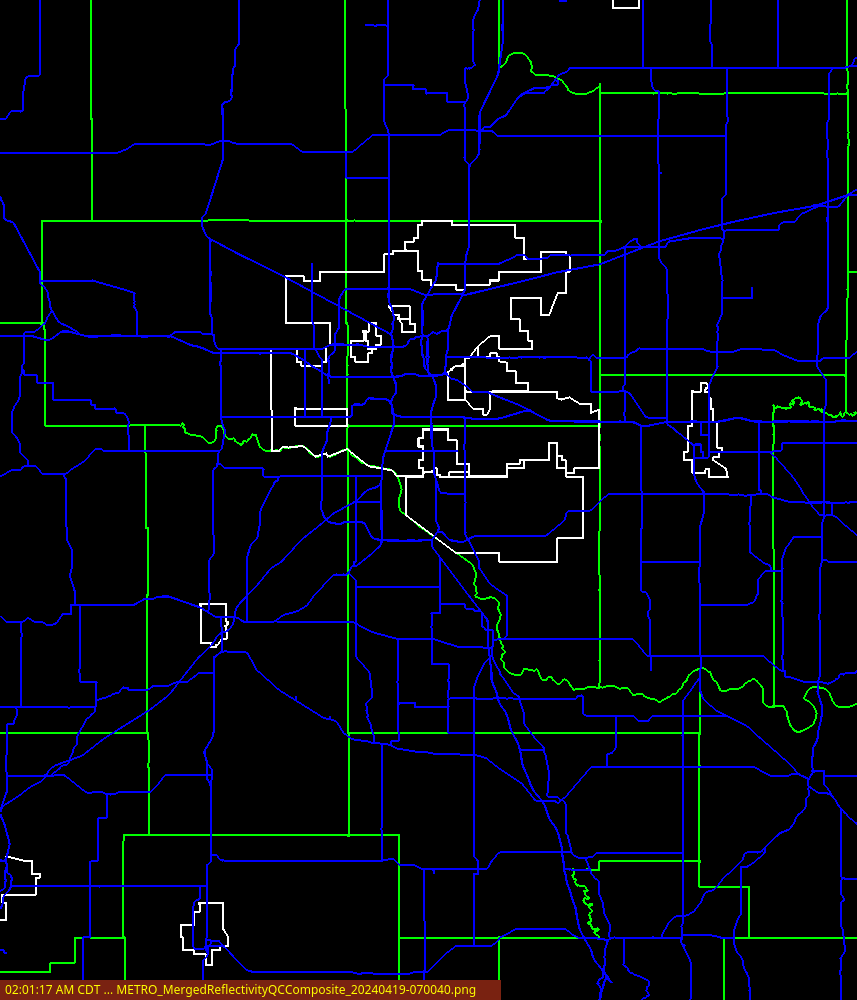
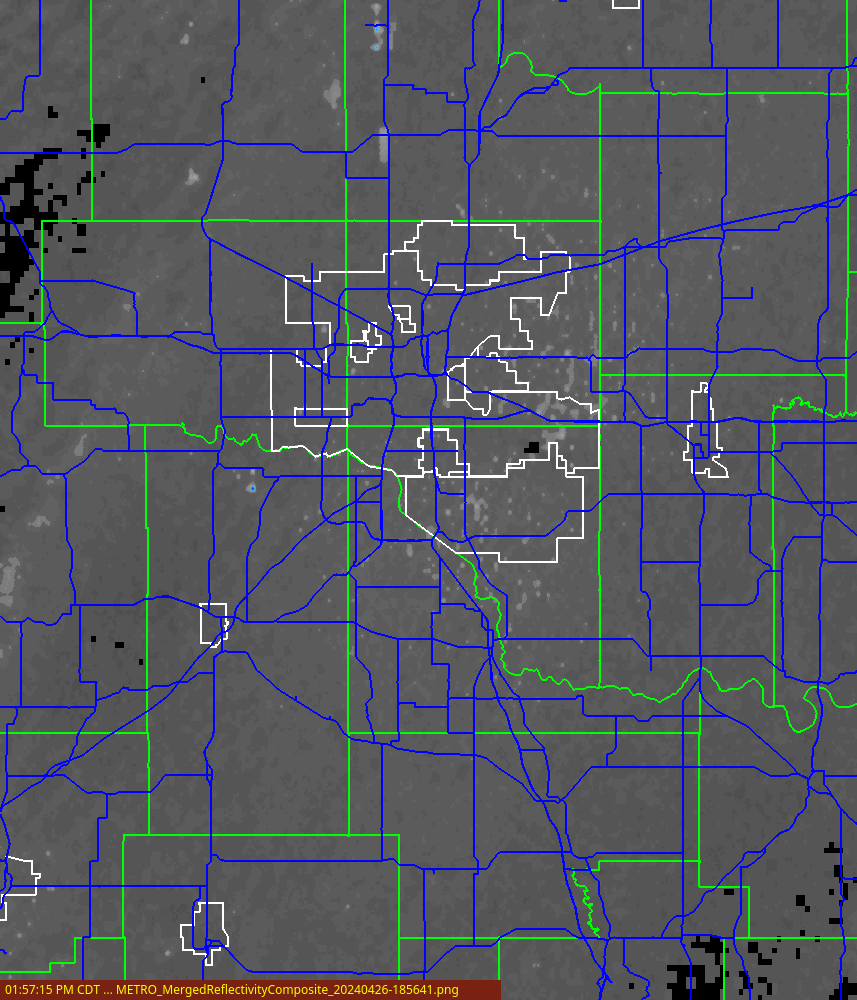
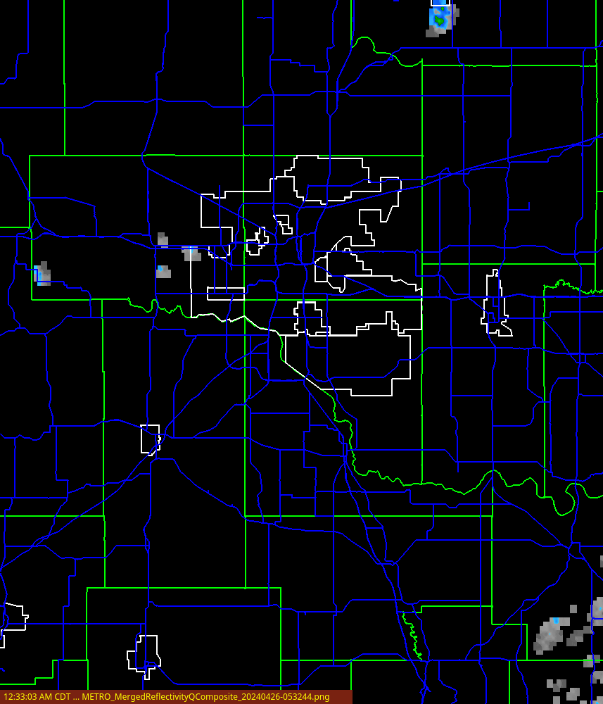
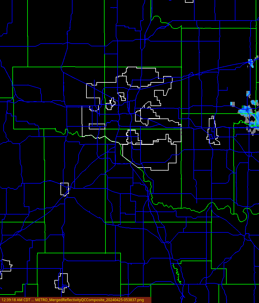
| Merged Reflectivity Composite (no QC) (Click image for animated loop) | Merged Reflectivity Composite 2D (Click image for animated loop) |
 |
 |
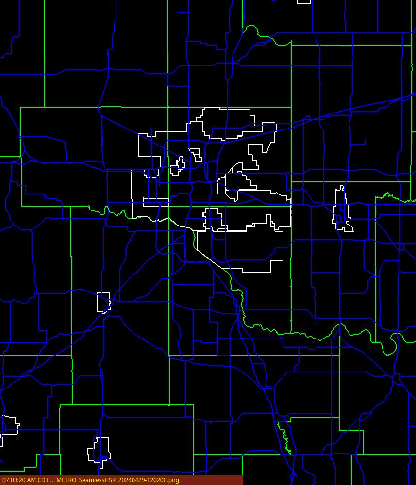
| Low Altitude Reflectivity Composite (Click image for animated loop) | Merged Reflectivity Composite 3D (Click image for animated loop) |
 |
 |
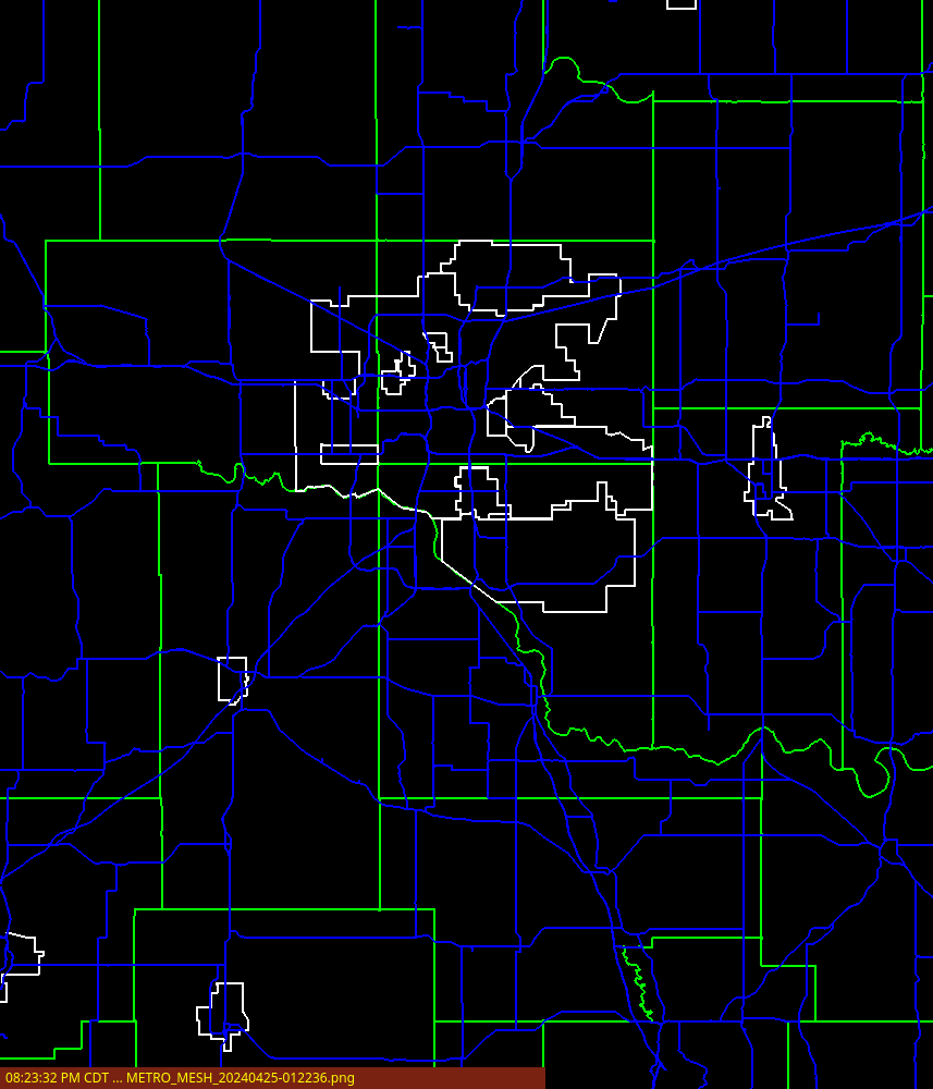
| Maximum Expected Hail Size (Click image for animated loop) | MESH_Max_60min (Click image for animated loop) |
 |
 |
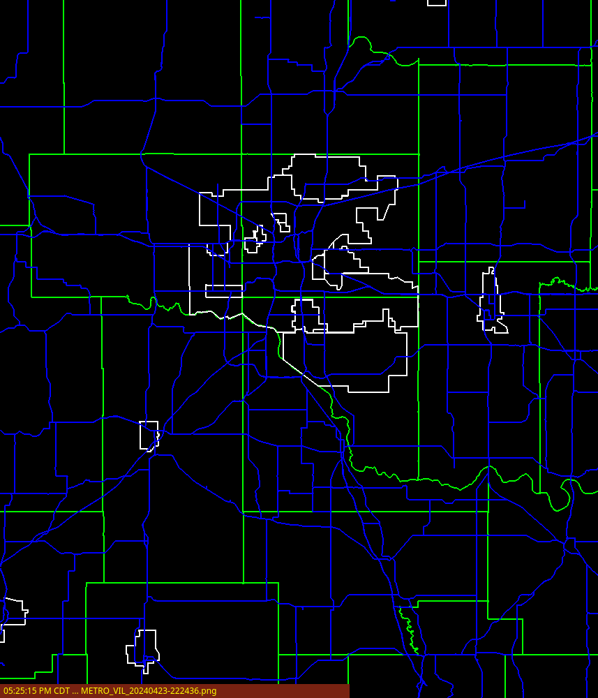
| Rotation Tracks 60min (Click image for animated loop) | Vertically Integrated Liquid (Click image for animated loop) |
 |
 |
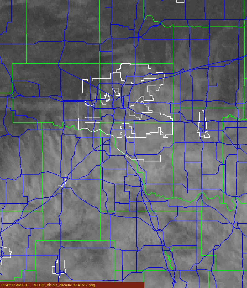
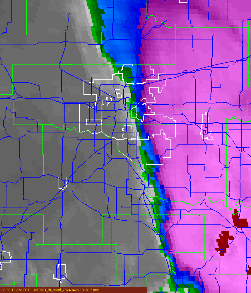
| GOES Visible (Click image for animated loop) | GOES IR Band (Click image for animated loop) |
 |
 |
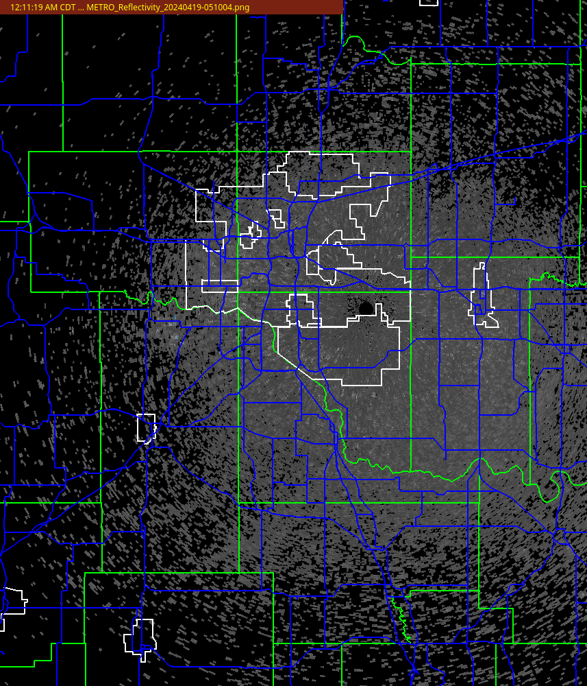
| KTLX Reflectivity (0.5 deg) | KTLX Reflectivity QC (0.5 deg) |
 |
 |
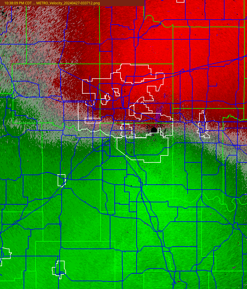
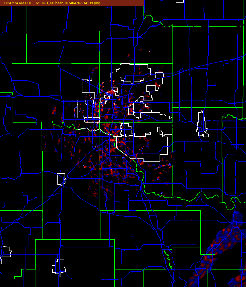
| KTLX Velocity (0.5 deg) | KTLX Az Shear (0.5 deg) |
 |
 |
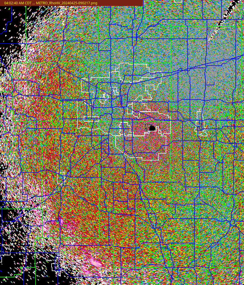
| KTLX RhoHV (0.5 deg) | KTLX Zdr (0.5 deg) |
 |
 |
| Hybrid Scan Reflectivity (Click image for animated loop) | 1-HR QPE | RadarOnly 1HR QPE (Click image for animated loop) |
 |
 |
 |
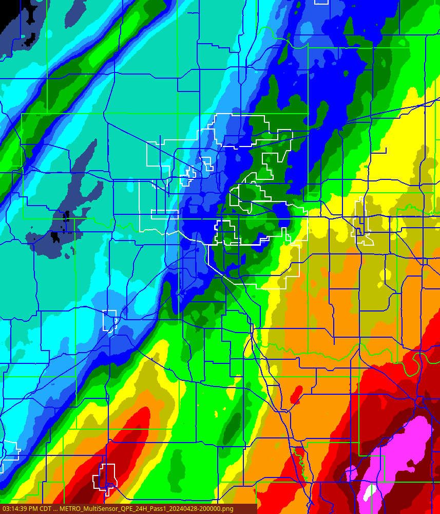
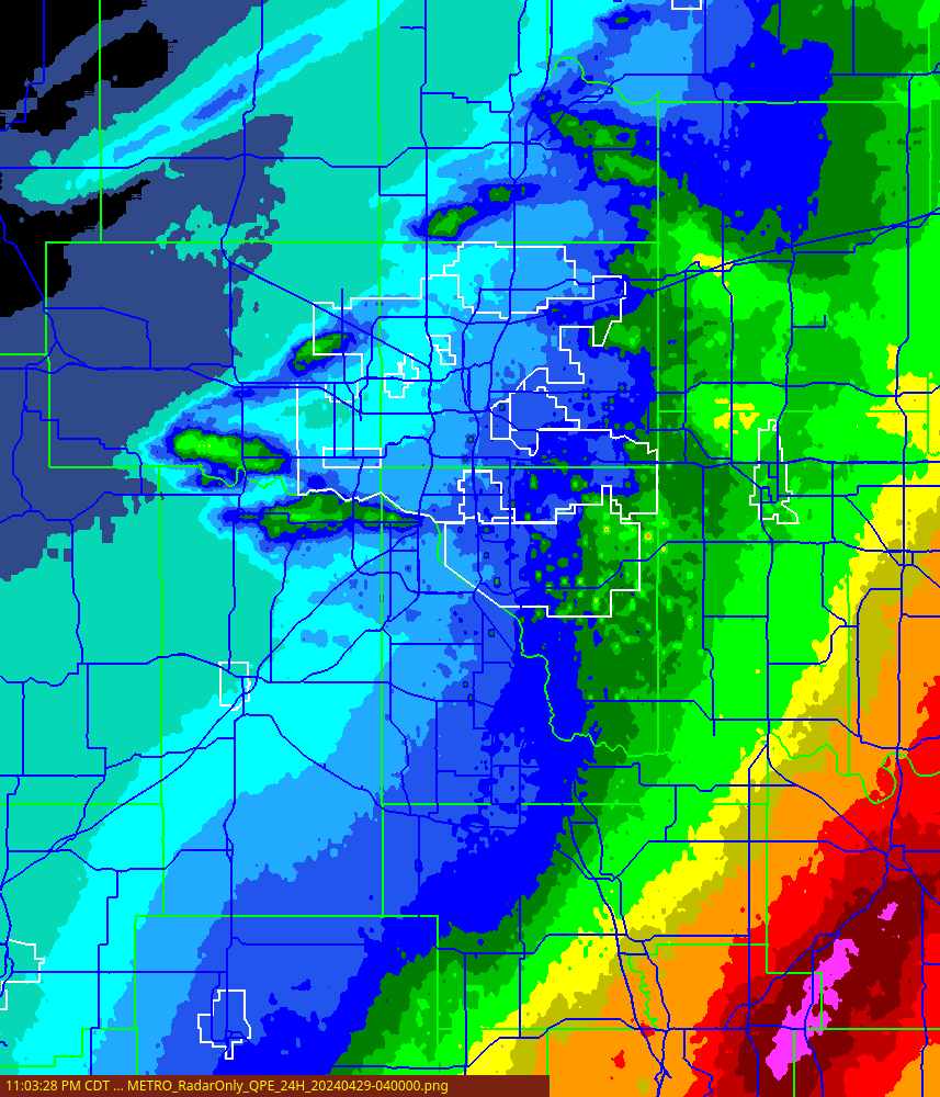
| MultiSensor 24HR QPE (Click image for animated loop) | 24HR QPE | RadarOnly 24HR QPE (Click image for animated loop) |
 |
 |
 |
|
Disclaimer: Images on these pages are experimental. Real-time access to these
images may not be available at all times (due to data outages, network problems,
availability of resources, or at the discretion of the publisher). Use at your
own risk. Data are experimental and may expirence any number of problems
including being late or not being available at all. Do not use for protection
of life or property, or for any commercial use without permission. Additional info at wdssii.nssl.noaa.gov, www.wdssii.org, and the NSSL homepage. Contact us for questions about NSSL research activities. Webpage maintenance. |